GIS & Data Science
We transform complex spatial and environmental data into actionable intelligence — empowering decision-makers to see beyond the surface
Through the fusion of GIS, remote sensing, AI, and predictive analytics, we enable organizations to Gain real-time visibility over land, sea, and industrial assets., Predict and mitigate risks related to climate, environment, and operations.
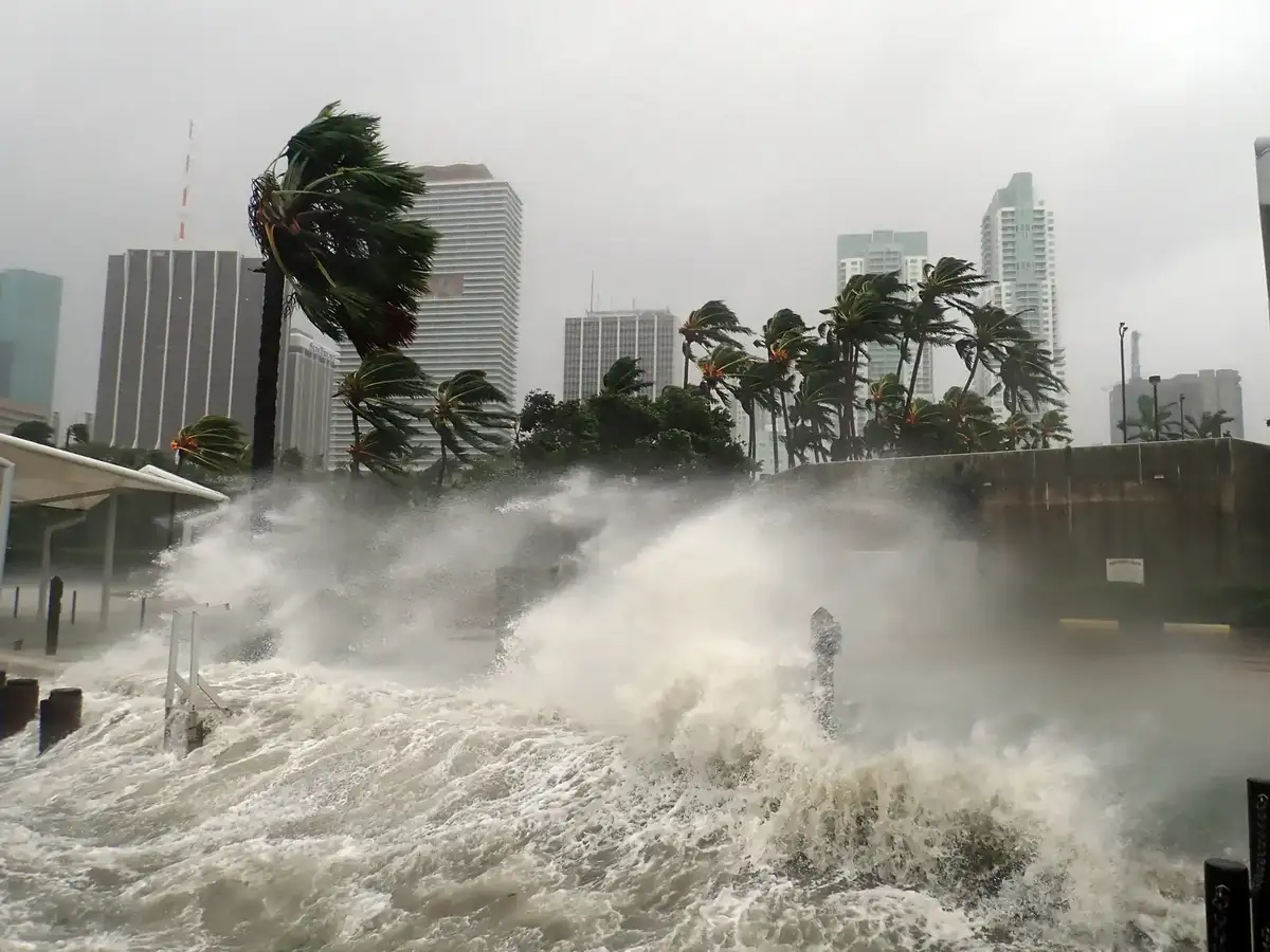
Environmental Intelligence
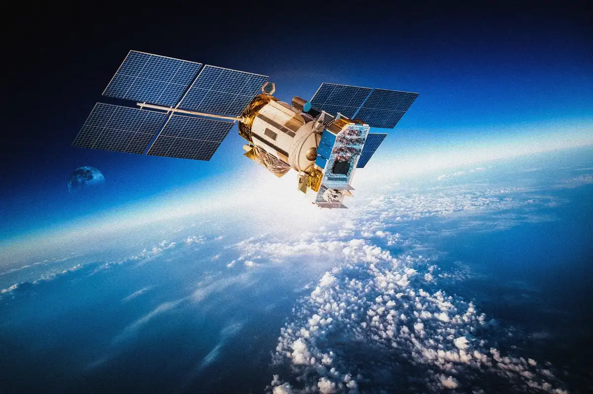
We harness satellite, drone, and IoT data to model ecosystems, detect changes, and forecast risks with high precision
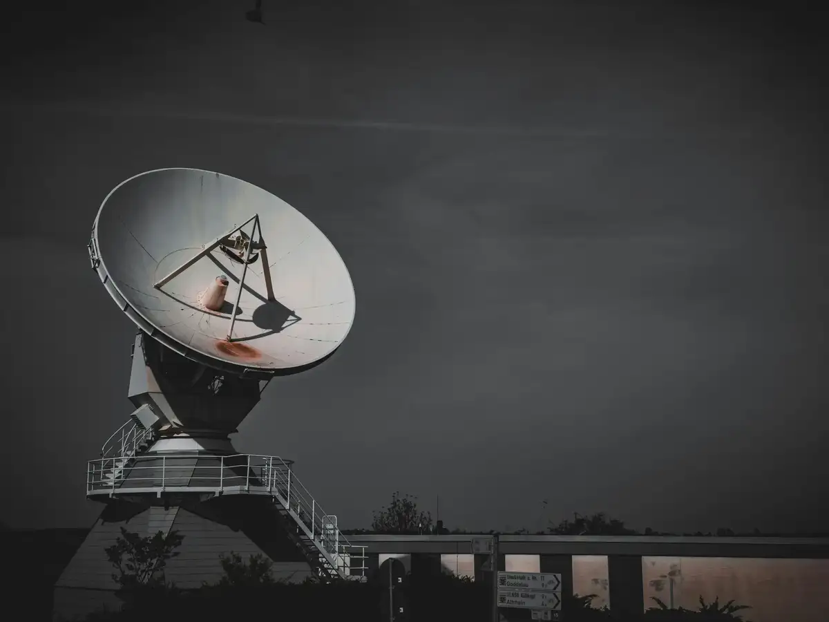
Spatial Data InfrastructurE
We design and implement GIS strategies and platforms that unify spatial data, sensors, and analytics for smarter decision-making.
Predictive Analytics
We transform raw data into foresight — developing models that predict trends, optimize resources, and automate insights.
Decision Support Systems
We create dashboards and digital twins that translate complex geospatial and statistical data into actionable intelligence